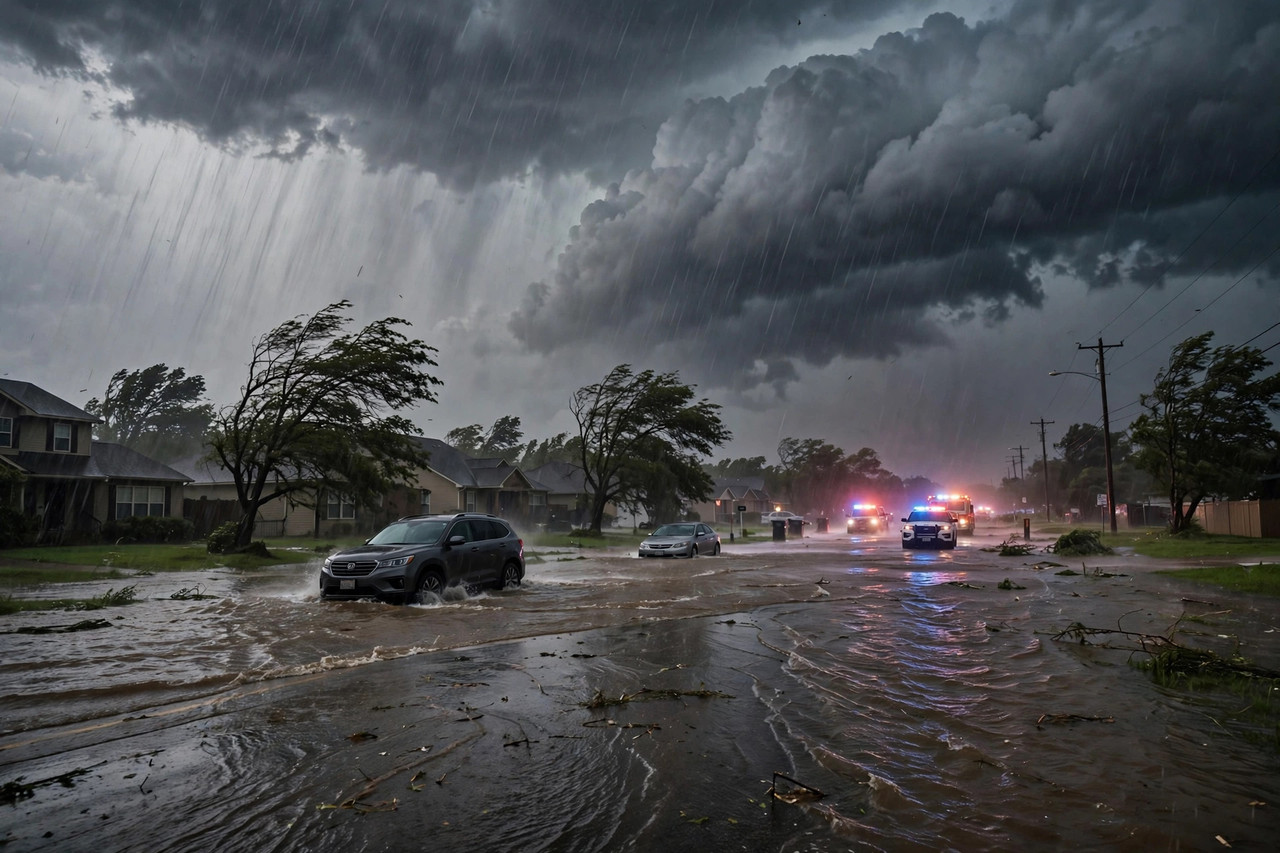
A powerful storm system fed by tropical moisture from Hurricane Simon is sweeping across the central United States, triggering flash flood warnings, severe thunderstorms and dangerous travel conditions. The National Weather Service has issued flash flood warnings in Oklahoma, where heavy rainfall has already created dangerous conditions and emergency crews in Oklahoma City have responded to flooded vehicles.
Eleven states are in the storm's crosshairs with varying risks of heavy rain, severe thunderstorms or flooding: Texas, Oklahoma, Kansas, Missouri, Arkansas, Illinois, Indiana, Kentucky, Ohio, Tennessee and West Virginia. Authorities are warning drivers not to enter flooded roads or attempt to cross submerged bridges — even a few inches of fast-moving water can sweep a vehicle away. Earlier this week, NOAA warned of days of heavy rain and flash flooding as this moisture-laden system took shape over the Plains.
On Thursday the storm moved through the Midwest and Great Lakes. Rain arrived in the morning across Chicago, Milwaukee and St. Louis, reaching Detroit, Cleveland and Indianapolis by the afternoon and evening. Rainfall totals in the Great Lakes were expected to remain under an inch, so widespread flooding was not a concern there — but some communities saw their first round of rain arrive as severe weather. NOAA placed a Level 1 out of 5 severe thunderstorm risk along a corridor stretching from St. Louis through central Illinois and central Indiana to Cleveland.
The storm then turns its attention east. Rain will arrive across the Northeast, including the busy I-95 corridor, by Friday morning, making for a slick and slow morning commute. The system will strengthen through the day, with wind gusts of 25 to 40 mph expected across the region, including Boston and New York City. Along the New England coast, gusts could reach 30 to 40 mph Friday, with peaks as high as 50 mph and dangerous conditions on the water. The strongest gusts are expected farther north, near Nova Scotia and Newfoundland.
Severe weather is also possible in the afternoon across the Mid-Atlantic and New York's Catskills and Hudson Valley regions. A Level 2 severe thunderstorm risk covers parts of eastern Pennsylvania, northern Maryland and New Jersey along the Pennsylvania border. Damaging wind gusts will be the main threat, though forecasters say a tornado or two is possible. Even heavier downpours are expected during the Friday evening commute, with up to an inch of rain falling north of the Interstate 90 corridor through Friday night. The storm should wind down late Friday.
The system had originally been forecast to strengthen explosively — a process known as bombogenesis — off the New England coast on Friday. Forecasters now say it will come close but will not quite meet the formal definition, which requires a non-tropical storm's central pressure to drop at least 24 millibars within 24 hours.
Behind the storm comes a dramatic temperature swing. The coldest air of the season will spread quickly across the eastern U.S., abruptly ending the record-setting heat much of the region has endured this week. Interior valleys in Pennsylvania, parts of Upstate New York and northern New England could see morning lows this weekend drop into the upper 20s and low 30s. Higher elevations in the Adirondacks, Green Mountains and White Mountains could see 1 to 3 inches of snow by Saturday night — the season's first for many spots. Parts of the Ohio Valley, northern New Jersey and New York's Hudson Valley could see their first frost, and breezy conditions will linger through Saturday.
The storm's fuel supply traces back to the Pacific. Hurricane Simon has been battering Mexico's Pacific coast this week, at one point strengthening back toward major-hurricane status while drenching the states of Nayarit and Sinaloa. That tropical moisture streamed northward and combined with a powerful mid-latitude system over the United States — a pattern that has repeatedly turned this October into one of the stormiest stretches of the season.
Travelers across the eastern half of the country should expect disruptions through the weekend, with trouble spots including Dallas, Kansas City, Des Moines and Chicago before the system exits. Meanwhile, Southern California faces its own weather challenge: a Santa Ana wind event is expected to last through Saturday, raising wildfire concerns in the region.
Residents in the storm's path are urged to monitor local National Weather Service alerts, avoid unnecessary travel during severe weather, charge essential devices, and move to higher ground if flooding threatens. With record heat giving way to frost and snow within 48 hours, forecasters say this weekend's whiplash is a reminder that fall has arrived in force.