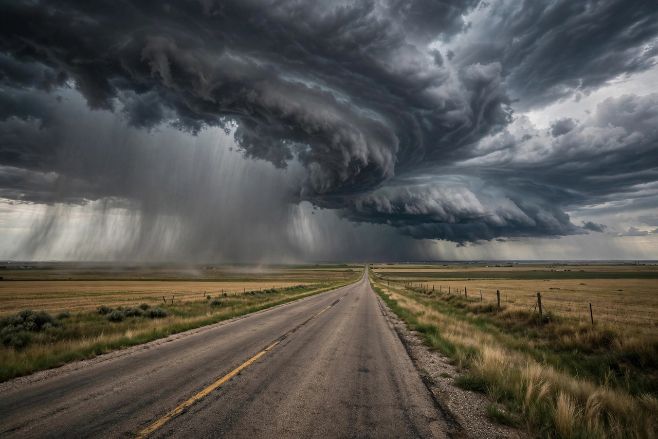
A slow-moving storm system fed by tropical moisture is setting up a multiday stretch of heavy rain and flash flooding across the central United States, forecasters warned Tuesday. The National Weather Service's Weather Prediction Center has flagged parts of Texas, Oklahoma, Kansas and Missouri for a Slight Risk of excessive rainfall on Wednesday and Thursday — the second-highest tier on its four-level flood outlook scale. Forecasters say repeated rounds of thunderstorms could dump intense rain over the same areas, raising the danger of flash floods and dangerous runoff.
Today marks the opening act. The Weather Prediction Center has placed the central and southern Plains under a Marginal Risk of excessive rainfall for Tuesday as rain and thunderstorms begin developing across the region. Forecasters expect the pattern to turn more serious by Wednesday, when the Slight Risk kicks in for the 24-hour period beginning at 12Z Wednesday, Oct. 14, covering the Southern High Plains into the Central Plains and stretching toward the Mid-Mississippi and Ohio valleys. A Slight Risk remains in place Thursday for the southern and central Plains into the Lower Missouri Valley.
The heart of the threat sits over a broad corridor of the country's midsection. The Prediction Center's discussion points to the greatest flash-flood danger in the Permian Basin and the neighboring Caprock of Texas, across the Central Plains and into the Lower Missouri Valley, with emphasis on eastern Kansas and adjacent parts of Missouri. A separate flash-flood assessment puts a level-two threat across western Kansas, most of Missouri and western Illinois on Wednesday — an area that includes Kansas City, St. Louis and Wichita. Rainfall totals of two to three inches are possible along a corridor running from western Missouri down to the Texas Big Bend, and locally higher amounts are expected where storms repeatedly track over the same ground.
The setup is a classic recipe for persistent heavy rainfall. Forecasters describe a slow-moving area of low pressure meandering over the Front Range and Central Plains, with a front stalling out across the region and a vast, arcing jet stream positioned from the Central Rockies toward the Canadian Maritimes. That stalled front gives storms a boundary to form along again and again, while deep tropical moisture streaming northward keeps the air primed for downpours. Forecasters are calling it the beginning of a long period of unsettled weather, with multiple days of heavy rainfall possible for some locations.
Some of the storms could turn severe. The Storm Prediction Center has outlined portions of the region for a marginal risk of severe thunderstorms Tuesday into early Wednesday, with damaging winds and large hail the most likely hazards. Broader severe-weather assessments place a level-two severe risk across the Texas and Oklahoma panhandles on Tuesday as a line of scattered storms fires from the Kansas City area down toward Lubbock. Forecasters also note the severe threat alongside the rainfall, since the same storms that drop several inches of rain can produce the damaging gusts and hail.
What comes next depends on how the pieces of the system evolve. After the midweek peak, forecasts show the pattern shifting as the upper-level disturbance moves east, with the weather center refining its outlooks day by day. Meanwhile, the western side of the country faces its own dramatic swing: an upper-level system gliding in from the Pacific Northwest is expected to send temperatures plunging, with early-season snow possible for mountain ranges in Montana, Wyoming, Idaho, Nevada, Utah and Colorado by the end of the week. For the Plains, though, the message is straightforward — a stalled front and abundant moisture are about to collide, and the result will be days of rain.
This threat arrives at the tail end of a stormy stretch for much of the country. Tropical moisture from the eastern Pacific already brought heavy downpours and flood concerns to the Great Basin and Desert Southwest, and the remnants of what was Hurricane Rachel soaked Southern California earlier this week. And the Gulf Coast is still recovering after Hurricane Isaias slammed into the Florida Panhandle late last week as a Category 2 storm, killing four people and leaving hundreds of thousands without power. Forecasters stress that the central Plains outlook describes a developing flood threat rather than confirmed flooding — residents in the Slight Risk zone should keep an eye on watches and warnings as the forecast sharpens over the next 48 hours.